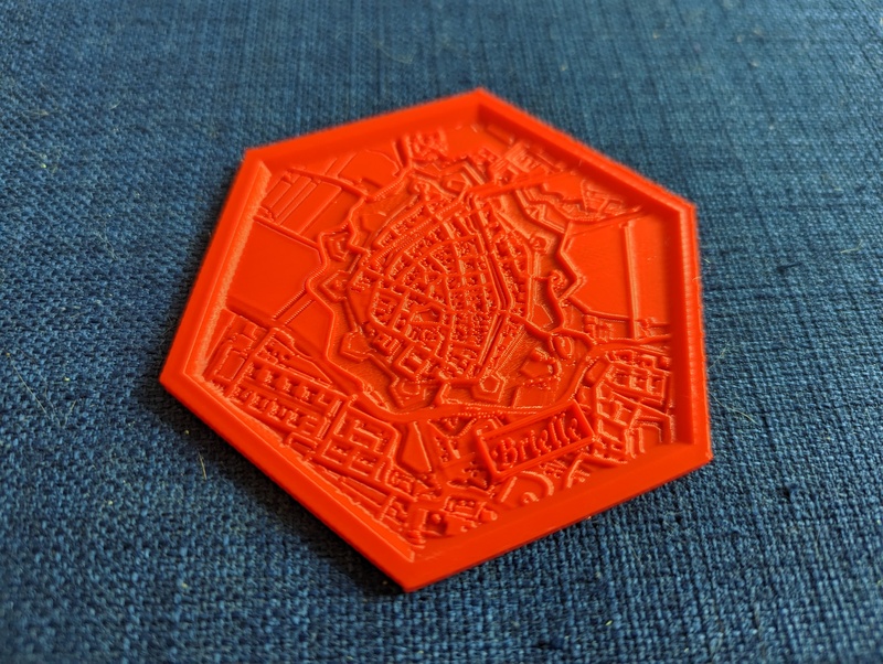
I wanted to make maps that were visually/physically attractive, specifically for coasters. We had seen some star forts recently and those are very visually attractive from an Cessna’s perspective.
Maperitive was one of the few options I found that provided what I wanted easily:
- scriptable access to maps
- customisable styles
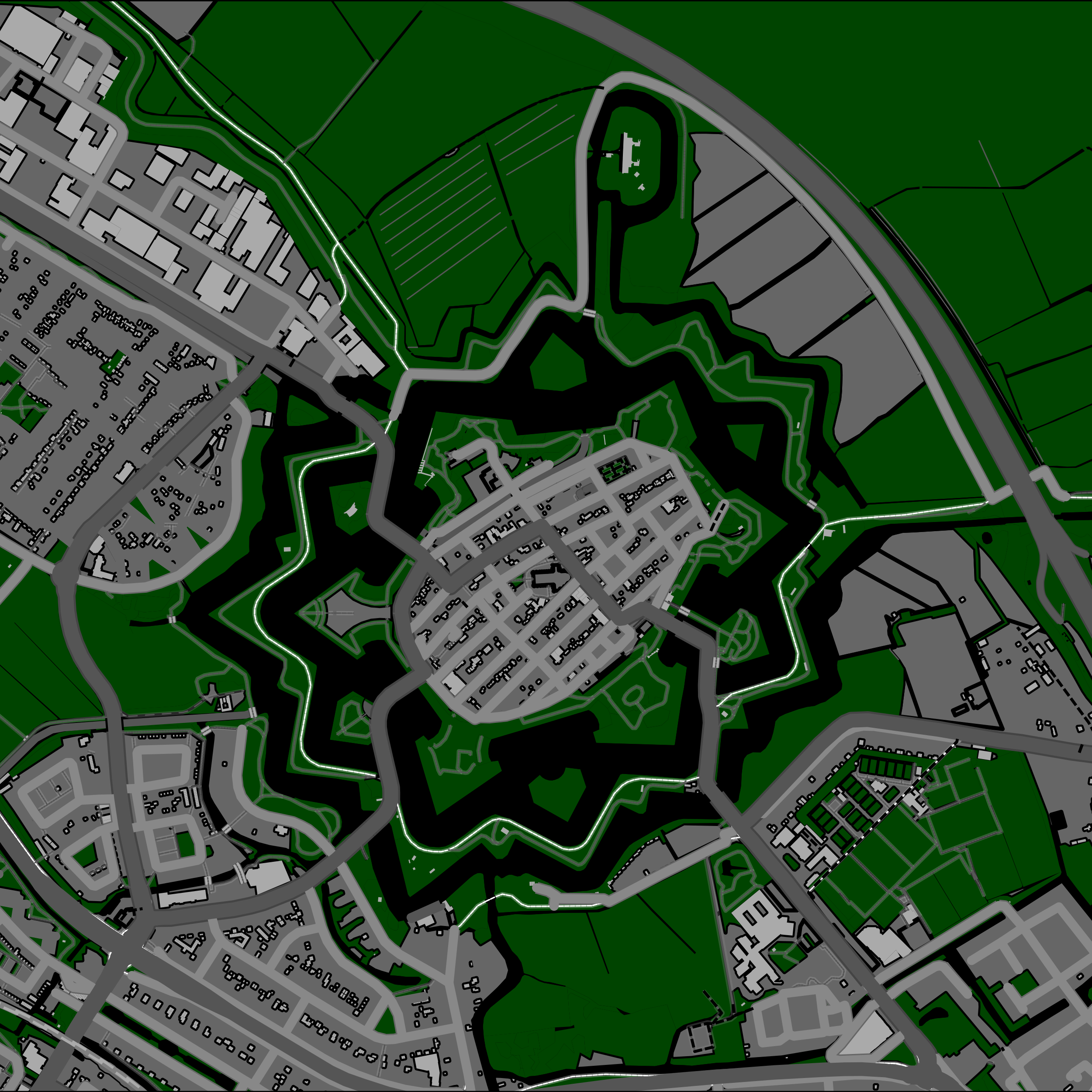
We’ll be customising the styles for essentially turning them into a heightmap. The netherlands is famously flat, however, the buildings can be high and the water can be low which is sufficient for my use case.
Here we pull in a larger bound than we end up printing, in order to get large features that go ‘off map’ from the final print:
use-ruleset Rules/Coaster.mrules
// use-ruleset Rules/Default.mrules
apply-ruleset

set-geo-bounds 5.0457,52.2773,5.2816,52.3152

download-osm-overpass
save-source "naarden.osm"

set-setting name=map.decoration.grid value=false
set-setting name=map.decoration.scale value=false
set-setting name=map.decoration.attribution value=false

set-geo-bounds 5.1457,52.2873,5.1816,52.3052

set-print-bounds-geo
zoom-bounds

export-svg file=naarden.svg
The Coaster.mrules file hides a lot of things and flatten many things out to similar flat colours. We don’t want labels, we just want e.g. waterways.
And then we can plot this with Maperitive:
mono ./Maperitive.Console.exe Scripts/Naarden.mscript
Personally I found the Maperitive GUI to be the best way to identify the correct boundaries, but ymmv.